Category - Easy to moderate (gentle road, but elevation gain)
View Rating - 4 out of 10Distance - 4 miles round trip if you go all the way out and back
Elevation Gain - 700 feet
Highest Point - 7200 feet
Although I love single-track trails that take you high into the mountains, this is another great hike for those who like wider paths for a walk-and-talk. (It also was one of the few hikes currently free of snow at the beginning of May.)
The hike is along a narrow paved road one and a half lanes wide. Yes, there are occasional cars, rare during the shoulder season and common but not busy during the busy tourist months of July and August. As of the beginning of May, the top half of the hike was closed to cars.
To get to this hike, drive to the base of Echo Summit and turn off Highway 50 onto South Upper Truckee Road. Drive 3.8 miles south to a trail head sign.
As you approach the trail head, you will cross this bridge over the Upper Truckee River.
Here's the trail head with room for several vehicles to park.
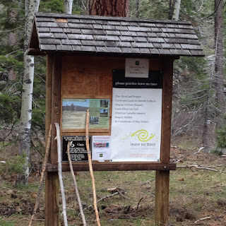
This sign exists to mark the single track trail up to Meiss Meadows and Dardenelles Lake, Round Lake, and Showers Lake. As of the beginning of May, these were all buried in snow.
Regardless of the time of the year, for the hike described in this post, you stay on the asphalt.
The road climbs gently through deep aromatic woods with creeks and old-growth Ponderosa pines 6 feet in diameter.
When people think of giant trees, they usually picture Sequoias and Redwoods and even Sugar Pines. But Ponderosa pines in the Sierra can be monsters. Six feet in diameter and 150+ feet tall.
In one stretch of 300 yards, you will go across three rushing creeks (that is if you go in the spring). All were in a big hurry to get their work done, transporting fresh snow melt down to the Upper Truckee River, which then carries it to Lake Tahoe.
One mile in (the half way point) you will come to Highway 89 as it rises up from Christmas Valley toward Luther Pass. Continue across the highway. If you come early or late in the season, the gate may be locked keeping cars out, which makes your walk that much more pleasant.
On the upper half of the hike, the road winds through the Luther Pass Campground, one of the more remote and less crowded campgrounds in the Tahoe Basin. It would clearly be a gorgeous place to camp.
At the end of this hike, you will once again approach Highway 89, as it curves around on its climb up the pass. This is where you intersect the Tahoe Rim Trail and the Big Meadow trail head, which is great single track hiking. (Although it was buried in snow in early May).
The Tahoe Rim Trail Association has put up several great informational signs. This one explains how Tahoe got its name from a mispronunciation of the Washoe Name for the lake.
We always know how lucky we are to live in Tahoe, and we never it for granted.


No comments:
Post a Comment